Peak Noch, also known as Qalat Peak, is a prominent summit nestled in the northeastern region of Marvdasht County, within the majestic Chamgan Mountains. Its geographical coordinates mark a significant divide between the Arsanjan Plain and Marvdasht.
Rich in historical significance dating back to the Achaemenid era, Qalat Peak resides in the central district of Marvdasht, specifically in the Kenaresh Rural District. Recognized as a national heritage site of Iran since August 9, 2005, under registration number 12772, this mountain’s ancient name, “Mehr,” echoes through time, attributed to the abundant springs once found here. Although today, due to droughts and extensive well digging, the flow of these springs has diminished.
Standing tall at an elevation of 2,256 meters above sea level at its highest point, Qalat Peak overlooks the southeastern foothills, while its lowest elevation of approximately 1,591 meters rests in the Marvdasht Plain, southwest of the historic site of Persepolis. The altitude gradually decreases from northwest to southeast, mirroring the descent of the Marvdasht Plain.
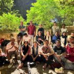
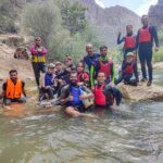
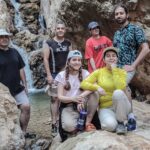
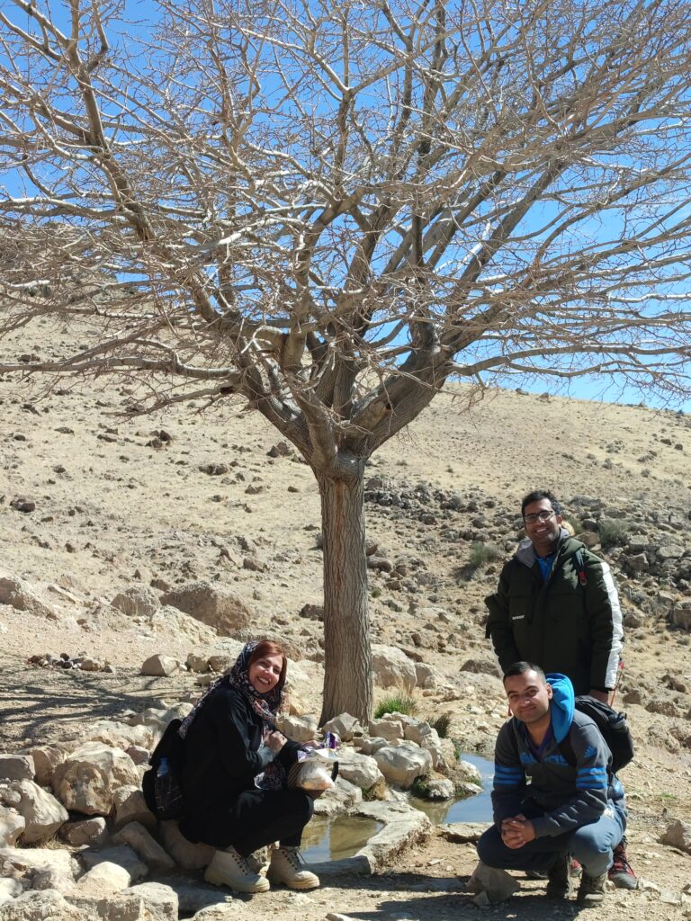
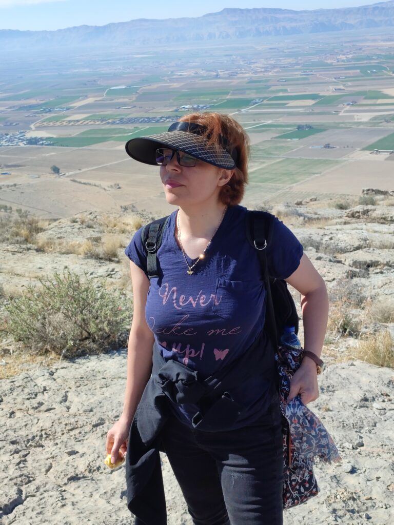
This journey, undertaken on February 23, 2024, was a challenging yet rewarding ascent to the summit of Qalat Peak. Spanning approximately 15 kilometers in length, the route presented moderate mountaineering difficulties, catering to intermediate-level climbers. Situated in the province of Fars, Marvdasht County, this one-day expedition required careful water management, with limited natural sources available from springs such as Bidi and Nari.
Program Details:
- Program Type: Peak Ascent
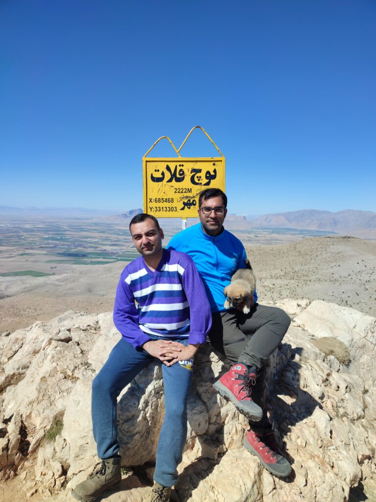
- Peak Name: Noch (Qalat)
- Peak Elevation: 2,222 meters
- Route Length: Approximately 15 kilometers
- Difficulty Level: Moderate Mountain Climbing
- Province: Fars
- County: Marvdasht
- Duration: One Day
- Water Access: Limited natural sources (Bidi and Nari springs) with water transportation from the city.